
 Home > Maps
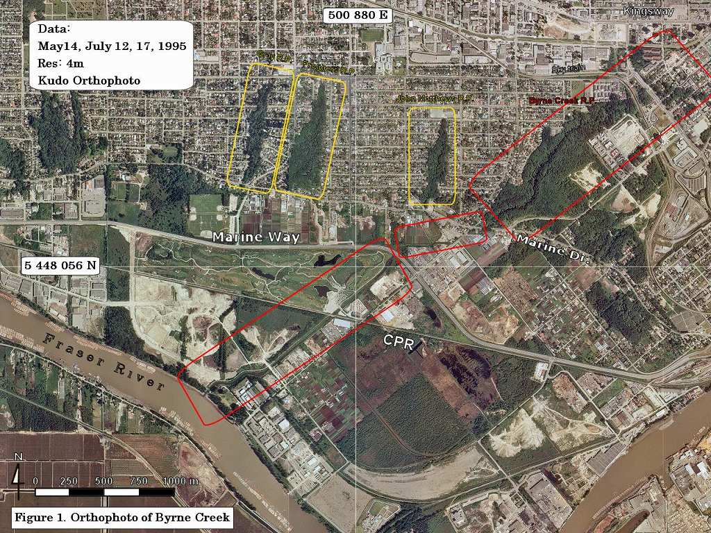
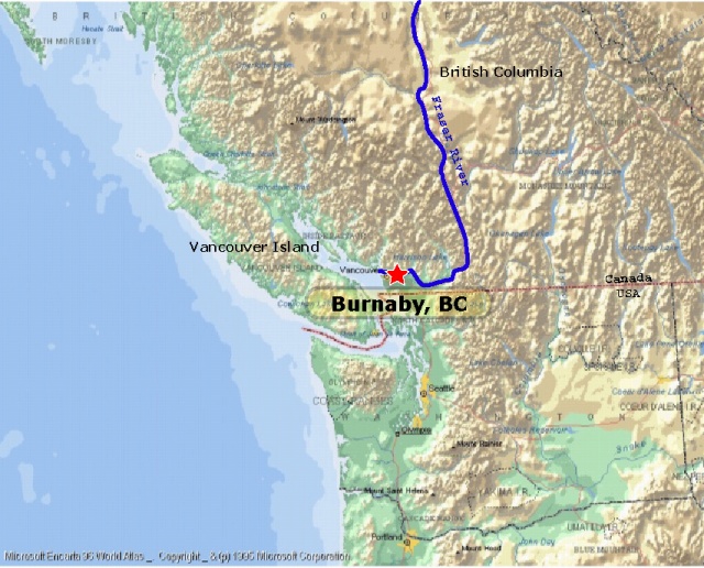
Byrne Creek Watershed is located in the City of Burnaby, BC. The watershed is one of many tributaries that empty into the Fraser River.
The Byrne Creek Watershed includes the Burnaby South Slope area from Sussex to 10th Ave. and from Kingsway to the Fraser River.
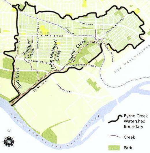
Byrne Creek originates in storm drains near Kingsway and Edmonds. It emerges just east of Edmonds Skytrain Station and flows south through a steep, densely vegetated ravine to Marine Drive and Byrne Road. At Marine Drive, the creek enters an artificial spawning and rearing habitat. It then flows through a lowland dyked channel to the Fraser River.
Burnaby GIS map (City of Burnaby)
Orthophoto taken in 1995 (Airphoto)
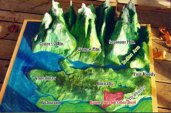
3D Model of the Lower Mainland
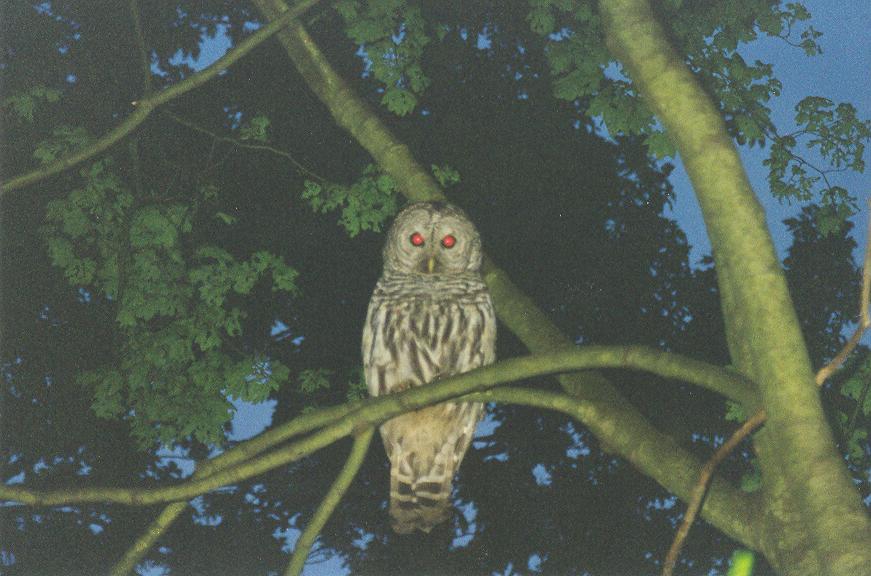
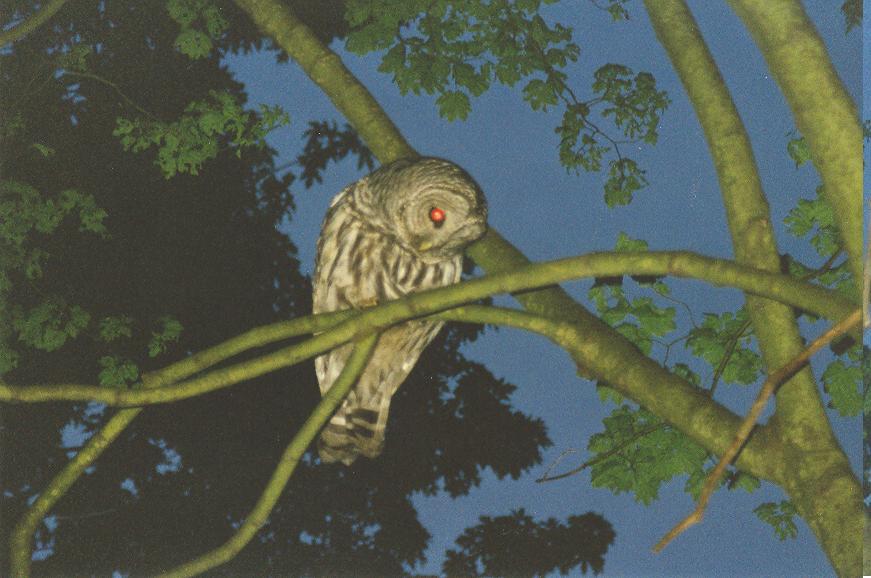
Wildlife found in Byrne Creek Ravine Park
(Photo taken by Maho H.)